SAIRECABUR VOLCANO (5,992 M.S.N.M)
Full Day
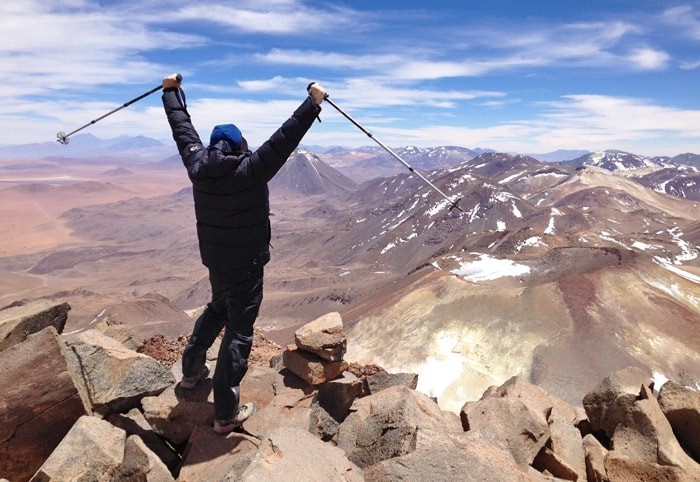
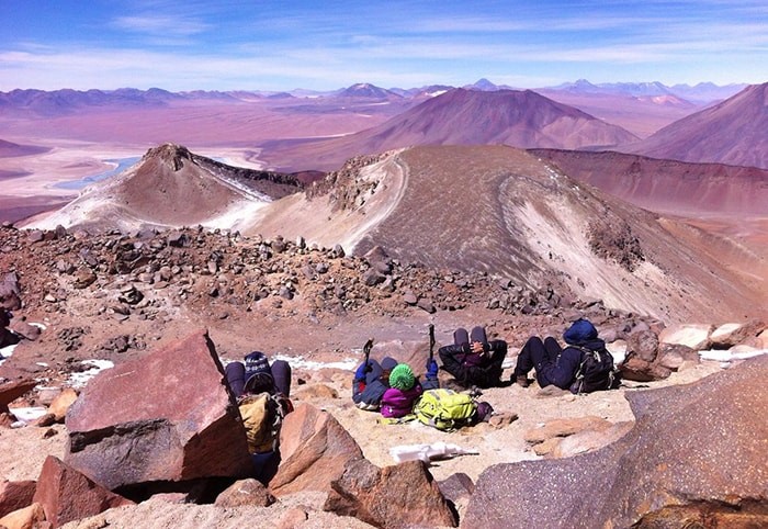
In the local Kunza dialect, it means something like "Mountain of the rain” and stands out for being one of the highest peaks in front of San Pedro de Atacama with its almost 6,000 meters above sea level, and in addition to having an access through an old path of a sulfur deposit that reaches the base at 5,600 meters above sea level. It is located about 60 km northeast of San Pedro, considering that the first 40 km of the road are in good condition and the last 20 km progress is very slow. The 4×4 tour takes about 2 hours. Once at the base, the ascent route faces the south face of the mountain, taking a path that is not very clear with a slope of about 25 degrees that climbs in an easterly direction first, riding on a shoulder of Sairecabur, and then access by a 250-meter scree and a 40-degree slope that does not have a marked path, where you climb looking for large rocks to walk on, which makes this part of the ascent a little easier. The last part of the climb is fairly quiet terrain-wise, but no less tiring considering the height and speed of access. In summary, Sairecabur is a mountain where acclimatization and physical resistance are needed, the climb itself is fast, on average 2 to 3 hours, but probably the greatest difficulty is the height at the base, which is very high and from where the ascent begins at 5,600 meters above sea level. Rugged terrain hiking experience is required. / BREAKFAST/SNACK/
Slope: Approximate 400 meters.
Path: 1,500 meters to the summit.
Rise time: 2:30 hrs. – 3.00 hrs.
Descent time: 1:30 hr. approx.
Included: Pick up and drop off at your hotel, English speaking guide, professional driver, comfortable van and water and meals mentioned
Not included: entrance fee to National park, tips for guide and driver.
Recommendations: bring sunscreen and an extra layer for wind.